mostly hot, dry desert; temperate in northwest; arctic in north
lowest point:
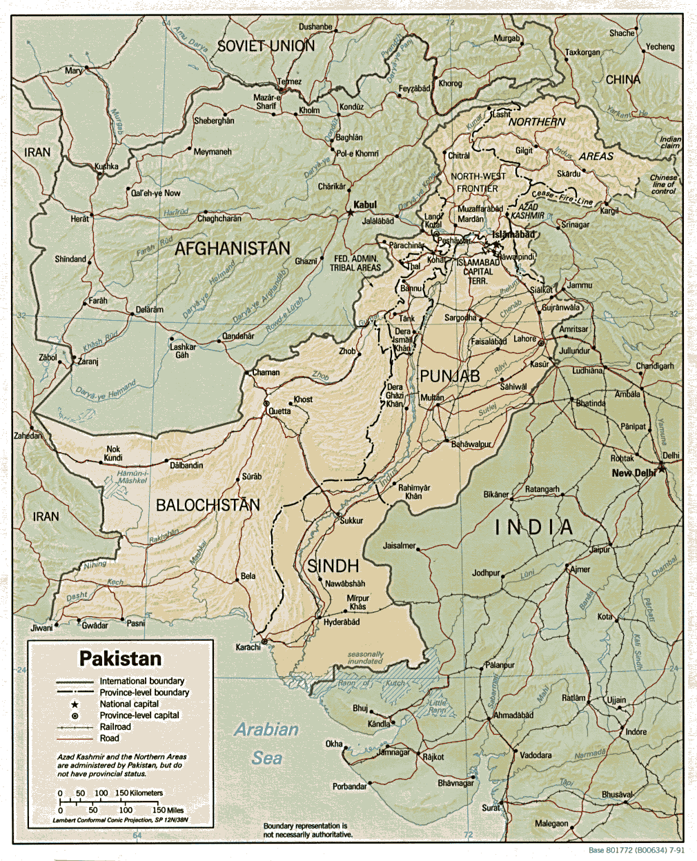
Indian Ocean 0 m
highest point: K2 (Mt. Godwin-Austen) 8,611 m
Natural resources:
land, extensive natural gas reserves, limited petroleum, poor quality coal, iron ore, copper, salt, limestone
Irrigated land:
171,100 sq km
Natural hazards:
frequent earthquakes, occasionally severe especially in north and west; flooding along the Indus after heavy rains (July and August)
Geography
- note: controls Khyber Pass and Bolan Pass, traditional invasion routes between Central Asia and the Indian Subcontinent
Elevation extremes:
lowest point: Indian Ocean 0 m
highest point: K2 (Mt. Godwin-Austen) 8,611 m